|
Not far from
Belize, hidden under a thick canopy of tropical
forest, lay ruins of Caracol - one of the
largest Mayan cities in Central America. Only
the central part of the city remains exposed and
assessable for scientists and tourists.
For decades
archaeologists tried to map remains of Caracol,
which could reveal unknown facts about
mysterious Mayan culture.

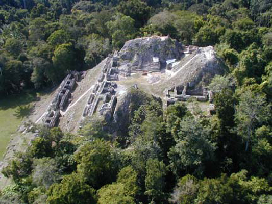
Caana Pyramid - one of the exposed areas of Caracol
Surveying in the
jungle was extremely difficult. Therefore a different
approach to map the Caracol region more
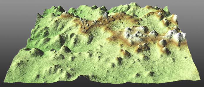
extensively was tried by scientists in 2009. Ruins of the
ancient city were surveyed using airborne laser
imagery technology (lidar). Laser signal was
able to penetrate a thick barrier of tropical
vegetation and reveal the
advanced architecture of Caracol and surrounding
grounds with roads and multiple agricultural
terraces.

Lidar Survey
Imagery of Caracol
We were privileged
to be commissioned By University of Central
Florida to fabricate a scale model of Caracol
ruins using direct output of the lidar survey.
Our goal was not to restore the original look of
the city but to create a scaled down physical
representation of this great discovery.
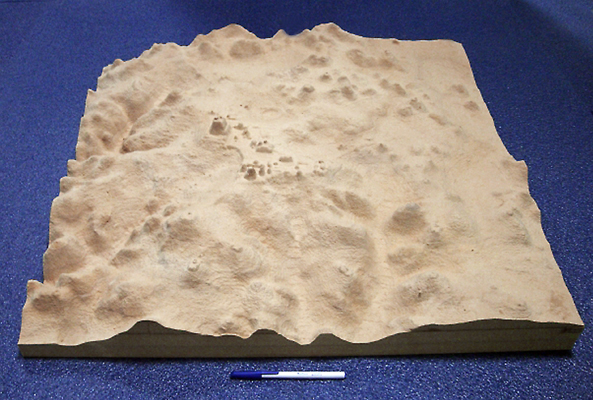
We translated an
actual 3D imagery data into CNC friendly format
and carved a 1m x 1m topographical model, which
was than finished, textured and painted in order
to make more visible the most important
features.

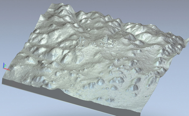
A preview of the
Lidar Survey Imagery translated into CNC
friendly format

CNC
carved model before finish and painting
The model was
presented to international archaeological
society. Its accuracy was recognized and highly
appreciated. The model currently is a part of
the permanent exhibit in the historical museum
in Belize.
Completed Model
To enlarge - left
click on the thumb. To close - left click again or Esc.
Use ARROW buttons to navigate.


 |